[Folium] Geojson 지도 만들기
http://www.gisdeveloper.co.kr/?p=2332
대한민국 최신 행정구역(SHP) 다운로드 – GIS Developer
www.gisdeveloper.co.kr
여기서 자신이 사용할 지도 shp 파일을 선택하여 다운받는다.
mapshaper
Drop or paste files here or select from a folder Shapefile, GeoJSON, TopoJSON, DBF and CSV files are supported Files can be loose or in a zip archive Quick import Drop or paste files here to import with default settings
mapshaper.org
이곳에서 지도를 수정한다
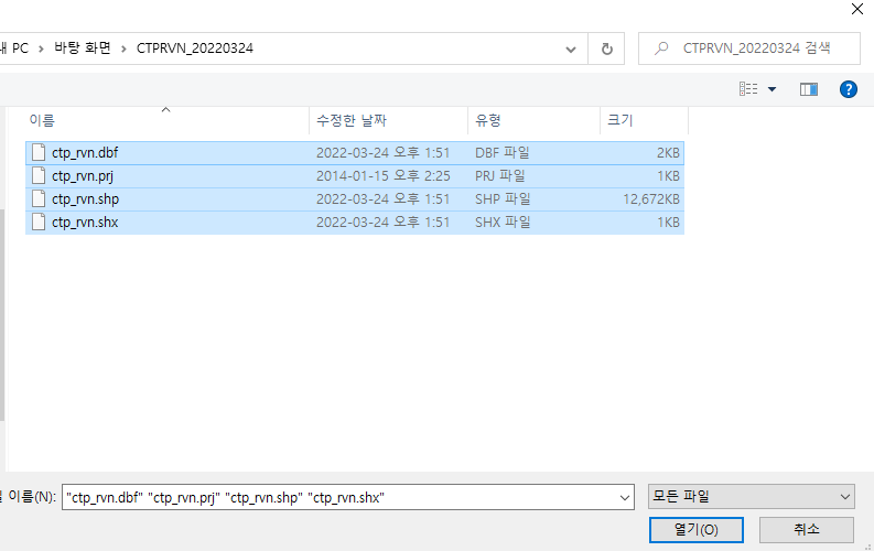
select 후 지도 선택

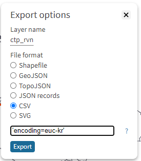
'encoding=euc-kr'
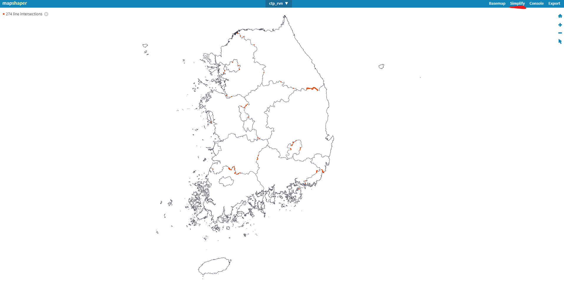
simplify를 이용하여 지도를 손보고 csv로 저장하여 데이터를 확인한다
export

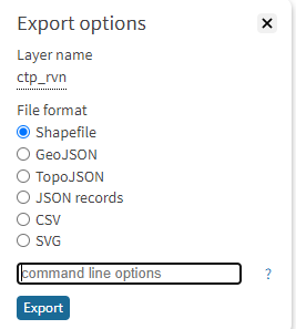
그후 shapefile로 저장한다
http://gipong.github.io/shp2geojson.js/
Demo page - shp2geojson.js
Sorry, this format are not supported.
gipong.github.io
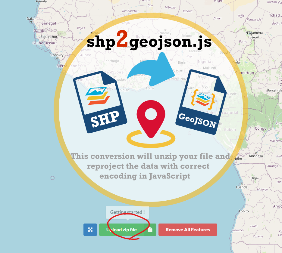
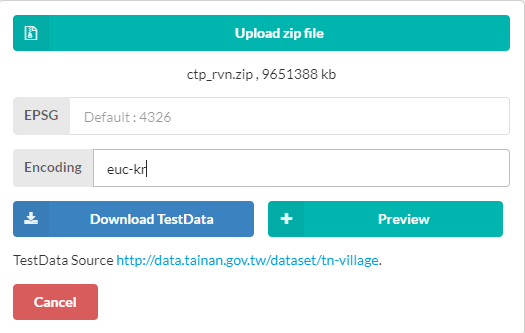
저장하였던 shapefile을 그대로 넣고 encoding 형식을 적어준다
preview를 누르고 지도를 확인한다
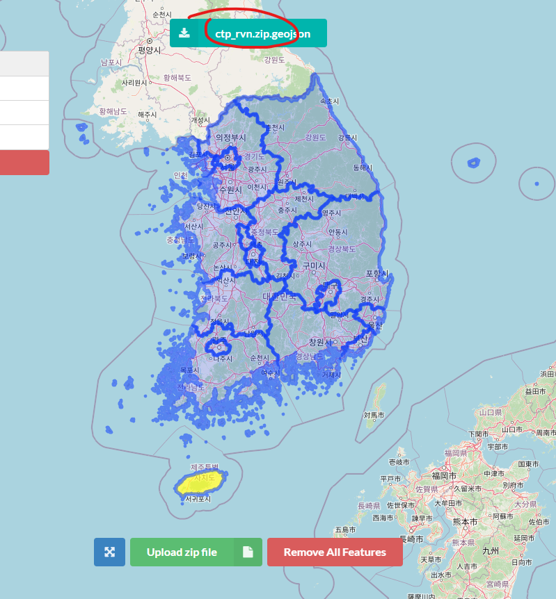
확인후 위에 저장을 눌러 저장한다
https://geojson.io/#map=2/20/0
geojson.io | powered by Mapbox
A quick, simple tool for creating, viewing, and sharing spatial data.
geojson.io
여기서 다시 한번 확인한다 끝